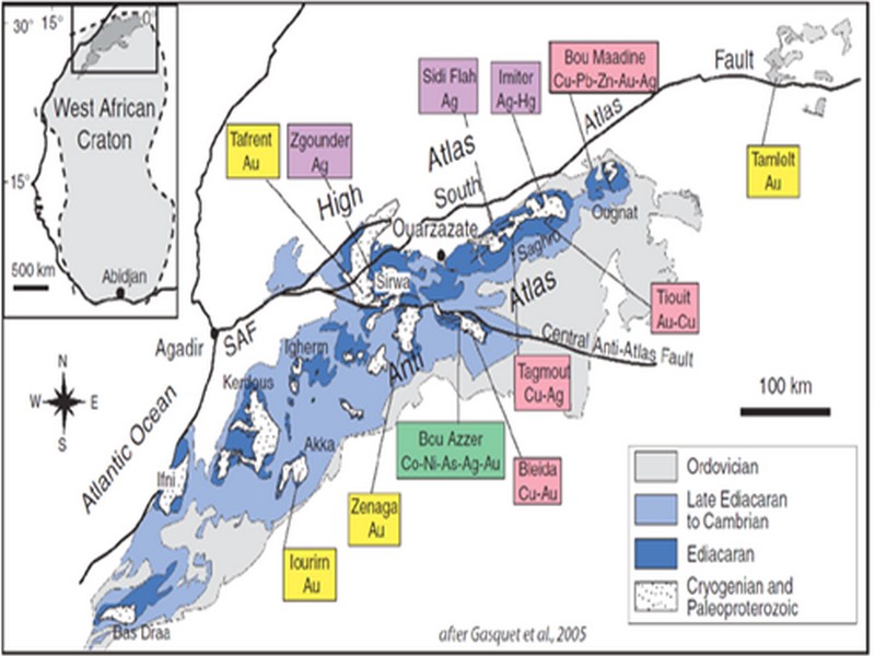

ORE DEPOSITS IN THE ANTI-ATLAS AND SUB-ATLAS REGIONS
The Anti-Atlas geological province is the host of a variety of ore deposits, ranging from Paléoprotérozoïque to Ordovician in age. These deposits are mainly Cu-Au porphyry types, precious metal epithermal (Au, Ag) or polymetallic VMS base metals (Cu, Pb, Zn, Au, and Ag), while the sub- Atlas region presents an important occurrence of manganese. Figure 8 shows the location of the most important deposits in the Anti-Atlas region.
Located in eastern Anti-Atlas, the world class Imiter Ag-Hg mine (8.5 Mt at 700g/t Ag), is among the most important deposits in Morocco. It is considered to be of epithermal origin. The silver mineralisation happened during regional extension (+/- transpession?) tectonic regime event around 550 and is hosted in a series of volcanic felsic rocks Ma (Tuduri et al, 2006). Briefly, a three-stage model has been proposed to explain the deposit: a first episode characterized by the development of quartz, pink dolomite, and Ag-rich minerals veins formed during a dextral transpressive event, followed by a barren stage associated with a normal left-lateral motion that re-opened previous structures, and a final alteration stage (i.e. supergene enrichment) that contributed to local enrichment in Ag deposit (Tuduri et al, 2006).
Regarding copper, Bleida was the most important Cu deposit of northern Africa until late 90’s. Located on the northern edge of the West African Craton, the Bleida orebodies are located on an inactive continental margin along with preserved ophiolites of Upper Proterozoic age. The copper deposits (chalcopyrite, bornite, pyrite) are stratiform distal massive sulfide bodies whose position is controlled by both the sedimentation of shales and an acid volcanism, which follows a more important basic volcanism. Pan-African deformation (650-600 Ma) has determined the current geometry of the cupriferous lenses although it has not remobilized the sulfides out of their original carrier beds (Leblanc and Billaud, 2006). West of the main Moroccan Bleida copper deposit, gold mineralization has also been discovered (West Bleida, ca. 3 tonnes metal Au). It is hosted by metamorphosed and deformed mafic to intermediate volcanic rocks that are part of the Neoproterozoic tholeiitic volcano-sedimentary series forming the stratigraphically upper part of the Bou Azzer ophiolite sequence. Gold mineralization primarily occurs
as deformed gold-bearing quartz veins and disseminations in Cu-rich chert zones (chalcopyrite– malachite), Fe-rich lithofacies and breccia zones. Gold is accompanied by small amounts of copper sulphides (<1% modal chalcopyrite).
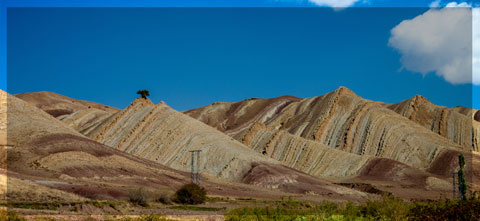
Another important occurrence (not displayed in the map, Fig. 8) is the Imini Manganese deposit, the most important Mn deposit of Morocco, located in the western margin of the Ouarzazate foreland basin (Sub-Atlas). The manganese ore is made of pyrolusite (MnO2), and is hosted in different horizons of dolomites from the lower Cretaceous, and another accessory layer. This layers thickness can reach up to 1 meter. The deposit scale is 25 km per 100-400 m width, and sits above slates and crystalline rocks. Dolomitic sandstone and/or conglomerate are present between each mineralized horizon. Isabel von Steinaecker; source: http://www.geo.tu-freiberg.de/oberseminar/os03_04/Isabel_Steinaecker.pdf).

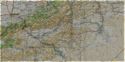
Figure 8: The Anti-Atlas belt at the northern limit of the West African Craton. Redrawn after Dallmeyer and Lecorché (1991) and a geological sketch map of the Anti-Atlas belt in southern Morocco and location of main ore deposits. SAF: South Atlas Fault. Gasquet and al. (2005)
Source web par unige.ch
Les articles en relation
Ksar d'Aït-Ben-Haddou
Ksar d'Aït-Ben-Haddou Ensemble de bâtiments de terre entourés de murailles, le ksar est un type d'habitat traditionnel présaharien. Les maisons se regroupent à l'intérieur de ses mur
Savoir plus...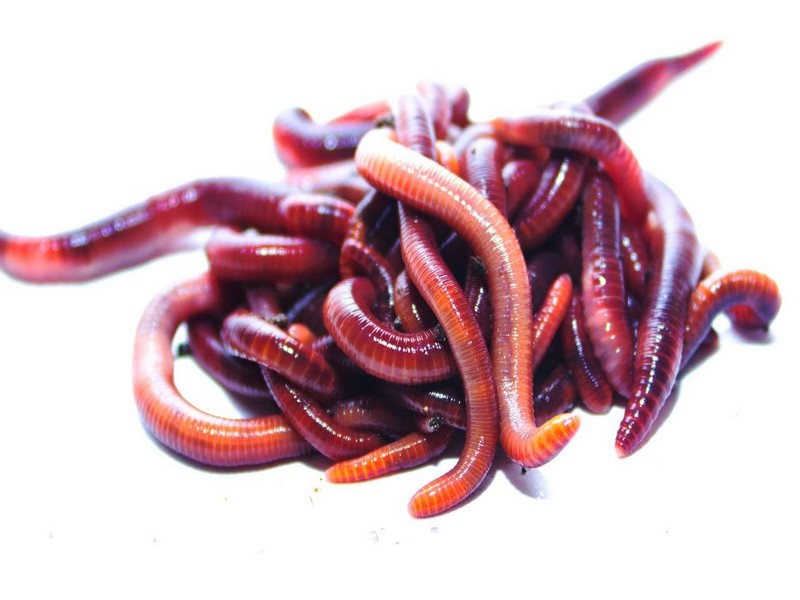
Les vers de terre pourraient prospérer dans le sol de Mars
Les vers de terre pourraient prospérer dans le sol de Mars Des chercheurs ont observé que des vers de terre pouvaient se reproduire dans un simulant de sol martien, c'est-à-dire un matériau qui mime l
Savoir plus...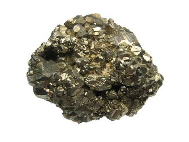
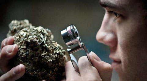
Les Minéraux
Qu'est ce qu'un minéral ? Un minéral est caractérisé par le fait qu'il est constitué d'une seule espèce chimique, c'est à dire que c'est un corps pur. En g&eacu
Savoir plus...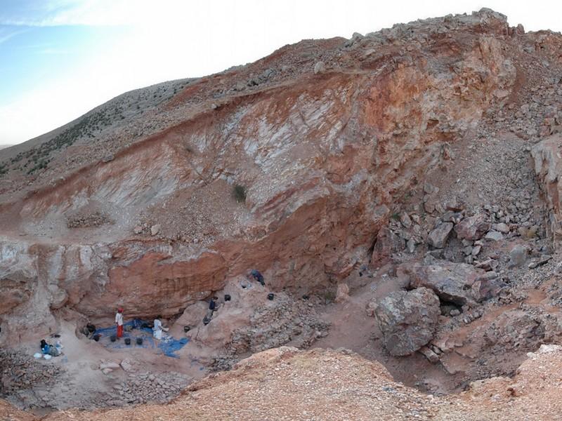
LE SITE DU JBEL IRHOUD
LE SITE DU JBEL IRHOUD LE SITE DU JBEL IRHOUD Ce site est désormais connu mondialement en raison de l’importance des découvertes archéologiques qui y ont été faites. Celles-ci début&egr
Savoir plus...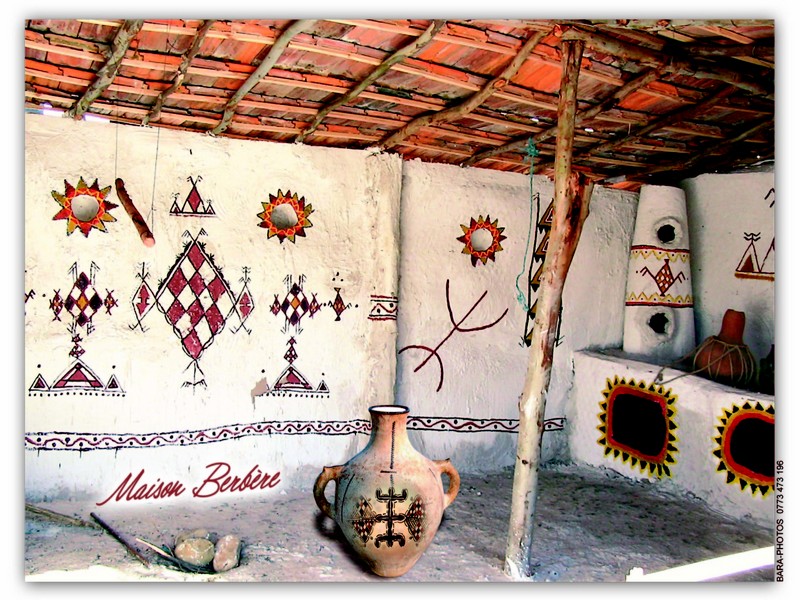
Berbère Culture et Histoire
Berbère Culture et Histoire Les Berbères sont le peuple autochtone d’Afrique du Nord qui ont habité la côte de la terre de l’Egypte au Maroc, au moins 5.000 ans. Depuis l’invasion arabe
Savoir plus...
Association Marocaine pour le Développement de Géoparc Jbel Bani (AMDGJB)
Association Marocaine pour le Développement de Géoparc Jbel Bani (AMDGJB) L'AMDGJB Association Marocaine pour le Développement de Jbel Bani, en tant qu'Association Marocaine autorisation 1954-36 –
Savoir plus...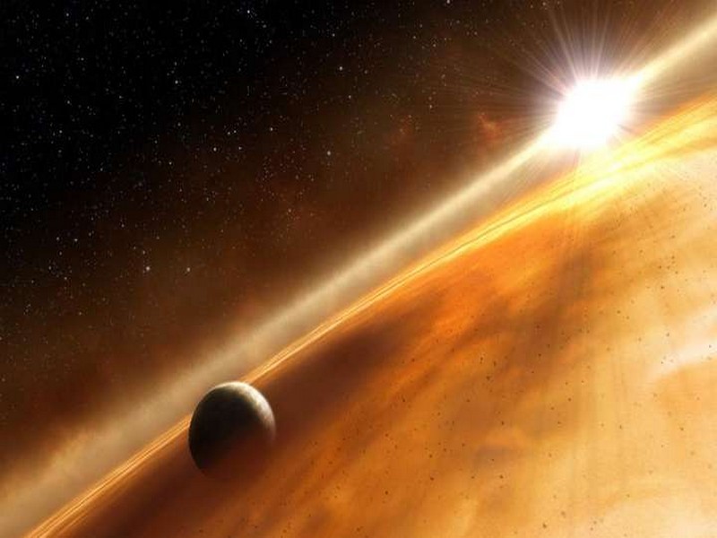
4 planètes géantes découvertes autour d’une jeune étoile surprennent les astronomes
4 planètes géantes découvertes autour d’une jeune étoile surprennent les astronomes Quatre planètes géantes qui orbitent autour d'une étoile. Surprenant ? Oui, compte tenu de
Savoir plus...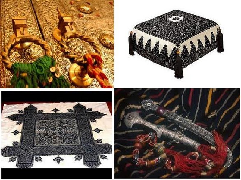
Artisanat Marocain
Artisanat Marocain L'artisanat marocain fait partie du patrimoine national marocain , il est la formule d'un art principalement populaire maintenu au cours des décennies, conçu dans les matières d'ori
Savoir plus...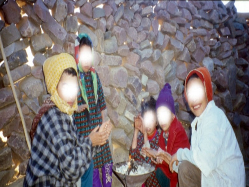
Recensement général de la population et de l’habitat: Coup de projecteur sur la population nomade
Recensement général de la population et de l’habitat: Coup de projecteur sur la population nomade Une partie de la population marocaine qui se fait habituellement discrète a été mise en lumi&e
Savoir plus...
CHARTE D'ETHIQUE Géoparc du Jbel Bani
CHARTE D'ETHIQUE Géoparc du Jbel Bani EDITORIAL Le Geoparc est cree a une periode ou le Maroc est en pleine mutation administrative avec la mise en place de la Régionalisation avancee, dans la continuit
Savoir plus...
Quelques animaux préhistoriques de Casablanca (Etude)
Quelques animaux préhistoriques de Casablanca (Etude) Depuis 1978 une équipe multidisciplinaire de scientifiques marocains multiplie les missions de recherche pour étudier une « caverne d’Ali baba &ra
Savoir plus...Les tags en relation
En savoir plus sur " Géologie et TSGJB - AMDGJB ! "
Consulter les vidéos de " Géologie et TSGJB - AMDGJB ! " Consulter les photos de " Géologie et TSGJB - AMDGJB ! " Consulter les publications de " Géologie et TSGJB - AMDGJB ! " Consulter les éditions de " Géologie et TSGJB - AMDGJB ! " Consulter les communications de " Géologie et TSGJB - AMDGJB ! "Recherche du site
Recherche avancée / SpécifiqueVulgarisation à la géologie
Qu'est ce que les sciences de la terre: vulgarisation Qu'est ce que la géologie ? Géologie et TSGJB - AMDGJB !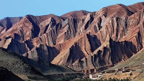
Géoparc et Recherche Scientifique
Le coins de l’étudiant
Blog Géoparc Jbel Bani
Dictionnaire scientifique
Plus de 123.000 mots scientifiques
Les publications
Géo parc Jbel Bani

Circuits & excursions touristiques
cartothéques
Photothéques
Publications & éditions