
CENTRAL ANTI-ATLAS TRAVERSE: the northern border of the West African Craton
By DR. M. OUKASSOU, DR. H. EL HADI, DR. F. HAISSEN, DR. N. SABER
ITINERARY and OBJECTIVES
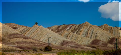
The south of Morocco is one of the most attractive touristic areas with diversified landscapes from snowy mountains to desert plains. The High Atlas with his 3000 to 4000 meters forms a major climatic barrier to the Atlantic perturbations, which account for the arid climate of the Anti Atlas sub Saharan domain south of the chain. These regions are occupied by berbere speaking populations with long hospitality tradition.
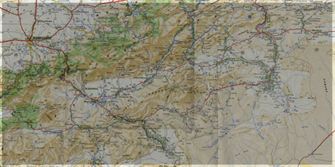
The two day trips follow most touristic roads and visit outstanding outcrops illustrating a central transect across the Anti-Atlas belt (figures G1 & G2), which corresponds to the external fold belt of the Hercynian (Variscan, Alleghanian) chain, but it also includes large Pan African inliers. The High Atlas formed during the Cenozoic at the expense of an aborted Triassic Jurassic rift. Therefore, three superimposed Wilsonian cycles can be illustrated during the trips. The itinerary will make possible to illustrate the complex geological history of these areas from 2 Ga to present day. Our purpose is to present and discuss various regional and thematic (sediment logical, structural, magmatic and
metamorphic) features, which record the main geodynamical events during this long geological history. Magnificent minerals (erhytrite, vanadinite...) and fossils (trilobites, goniatites...) can be purchased at many places.
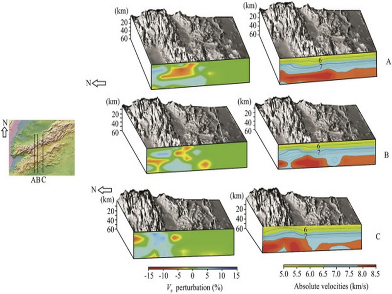
During this field trip, the AgdzBou Azzer Tazenakht Agdzloop (figureG3)allows the participants to discover the PanAfrican belt (external platform domain in the Zenaga inlier, ophiolitic suture zone at Bou Azzer), the early volcano clastic cover sequence (late Neoproterozoic), and the mildly folded Early Paleozoic sediments (Cambrian and Ordovician).
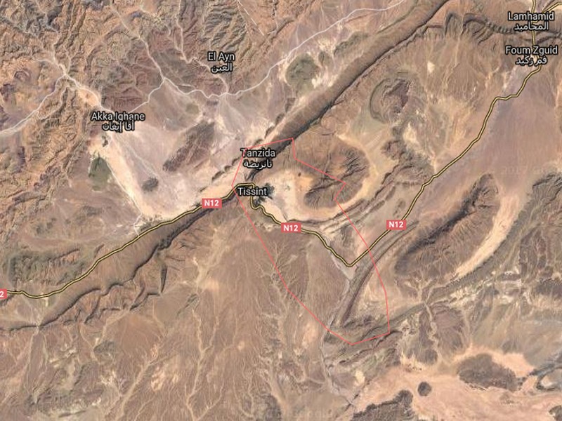
Detailed road log for the trip are provided below along with Global Positioning Satellite (GPS) location at each stop. Note that all the stops are on public roads, and that the use of hammers and the collection of rocks are permitted.


Source web: DR. M. OUKASSOU, DR. H. EL HADI, DR. F. HAISSEN, DR. N. SABER sociedadgeologica.es
Les articles en relation
La Tribu Ait Tissint
La Tribu Ait Tissint Histoire d' Ait Tissint Tissint en berbère signifie "le sel", cela vient de l'eau de son oued légèrement salée. La tribu Ait Tissint est composée d'&
Savoir plus...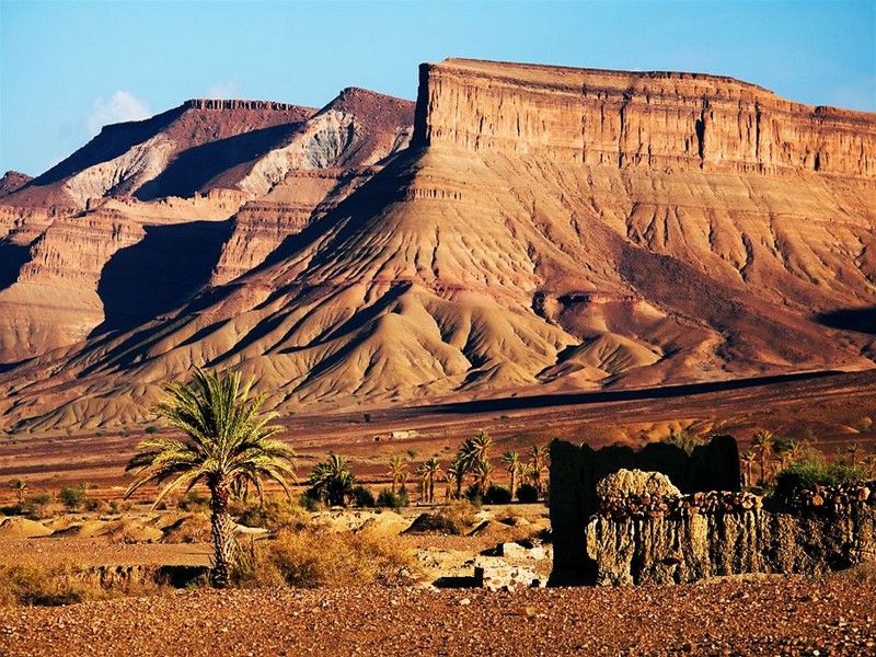
A plate tectonic evolution of the Anti-Atlas on a global scale
A plate tectonic evolution of the Anti-Atlas on a global scale DR.Hervé Rezeau, DR.Cyril Chelle-Michou & DR.Michael Calder SEG Student Chapter of Geneva (Switzerland) &n
Savoir plus...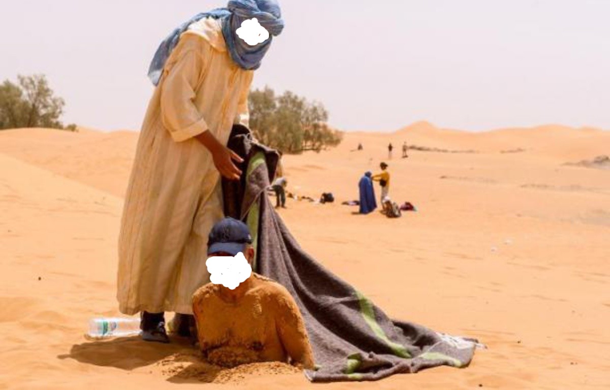
Sablo-thérapie :Zagora - l'été des bains de sable au Sud marocain
Sablo-thérapie :Zagora - l'été des bains de sable au Sud marocain Le bain de sable votre médecin naturel Zagora vous présente des étendues de sable brulant aperte de vue, c'est la ou
Savoir plus...
Les oasis de la région de Tata (Maroc) : abandon de la vie oasienne traditionnelle et adaptation à la vie urbaine
Les oasis de la région de Tata (Maroc) : abandon de la vie oasienne traditionnelle et adaptation à la vie urbaine Seules les oasis du piémont de l’Anti-Atlas et de la région du Jbel Bani (fig. 1) ser
Savoir plus...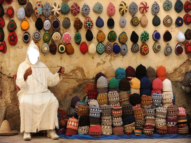
Patrimoine : Des artisans marocains en Afrique du Sud
Patrimoine : Des artisans marocains en Afrique du Sud Dans la ville sud-africaine de Durban, un projet de transformation d’une église en mosquée a nécessité de faire appel à l’expertise
Savoir plus...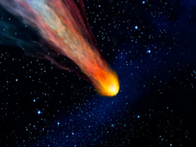
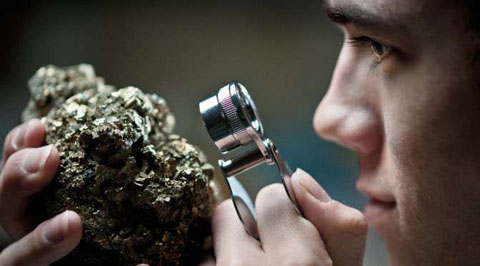
Qu'est ce qu'une météorite ?
De premiers abords cela ressemble souvent à un simple morceau de roche, mais il s’agit de matière extraterrestre âgée de 4,5 milliards d’années. Les météorites proviennent d
Savoir plus...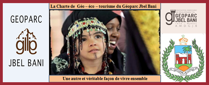
CHARTE DE GEOTOURISME
CHARTE DE GEOTOURISME Province de Tata Géoparc du Jbel Bani « Lettre d’intention » &
Savoir plus...
Convergence promotionnelle entre le tourisme et l’artisanat
Convergence promotionnelle entre le tourisme et l’artisanat Le tourisme et l’artisanat sont appelés à développer davantage d’harmonie et de synergie. Un projet de création et de promot
Savoir plus...
Quand Léonard de Vinci décodait les fossiles
Quand Léonard de Vinci décodait les fossiles Un tableau de Léonard de Vinci, Salvator Mundi, s'est vendu aux enchères à un prix record de 382 millions euros le 15 novembre 2017. Mais Léon
Savoir plus...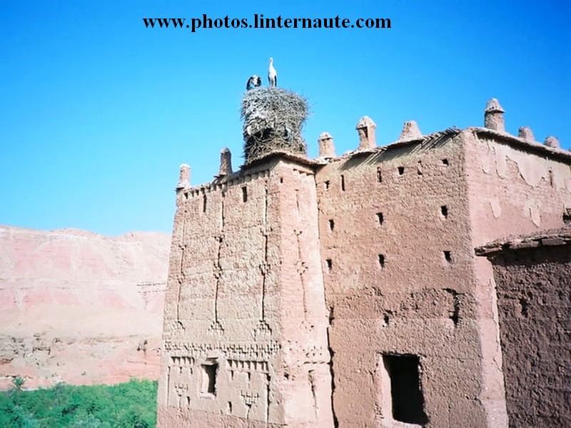
Kasbahs et ksour du sud-est marocain : KASBAH DES CIGOGNES (Geoparc jbel bani)
Kasbahs et ksour du sud-est marocain : KASBAH DES CIGOGNES (Geoparc jbel bani) Sur la rive droite de l’oued Ouarzazate s’élève la kasbah dite des Cigognes. C’est une propriété privé
Savoir plus...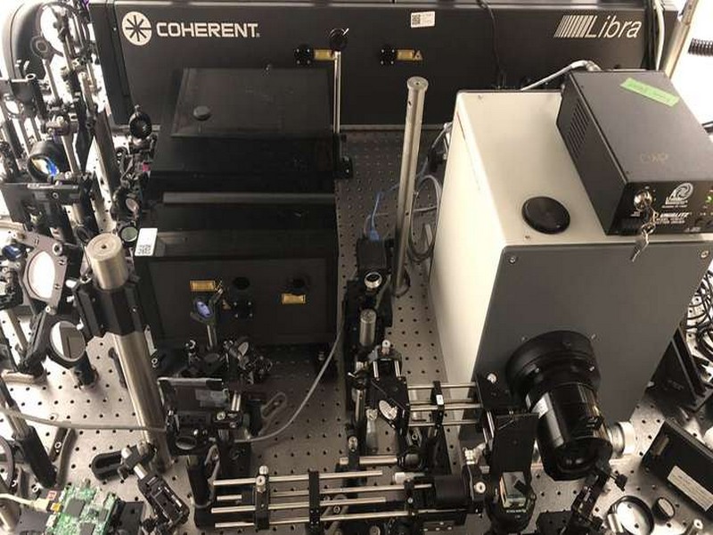
Voici l'appareil photo le plus rapide au monde : 10.000 milliards d'images par seconde !
Voici l'appareil photo le plus rapide au monde : 10.000 milliards d'images par seconde ! Un nouveau record vient d'être battu concernant l'imagerie ultrarapide qui permettait déjà de filmer le mouv
Savoir plus...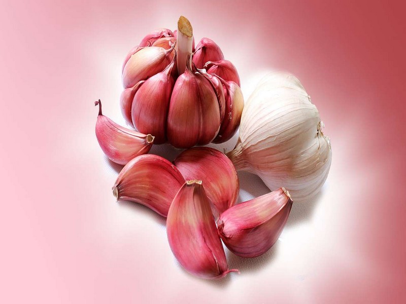
Pourquoi l'ail donne-t-il mauvaise haleine ?
Pourquoi l'ail donne-t-il mauvaise haleine ? L'ail est souvent utilisé en cuisine mais son ingestion est inévitablement accompagnée d'une haleine indésirable. Tout comme pour les oignons, les s
Savoir plus...Les tags en relation
En savoir plus sur " Géologie et TSGJB - AMDGJB ! "
Consulter les vidéos de " Géologie et TSGJB - AMDGJB ! " Consulter les photos de " Géologie et TSGJB - AMDGJB ! " Consulter les publications de " Géologie et TSGJB - AMDGJB ! " Consulter les éditions de " Géologie et TSGJB - AMDGJB ! " Consulter les communications de " Géologie et TSGJB - AMDGJB ! "Recherche du site
Recherche avancée / SpécifiqueVulgarisation à la géologie
Qu'est ce que les sciences de la terre: vulgarisation Qu'est ce que la géologie ? Géologie et TSGJB - AMDGJB !
Géoparc et Recherche Scientifique
Le coins de l’étudiant
Blog Géoparc Jbel Bani
Dictionnaire scientifique
Plus de 123.000 mots scientifiques
Les publications
Géo parc Jbel Bani

Circuits & excursions touristiques
cartothéques
Photothéques
Publications & éditions