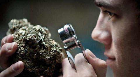
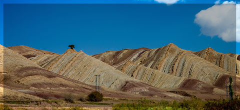
A short overview of the Anti-Atlas, Morocco
DR.Hervé Rezeau, DR.Cyril Chelle-Michou & DR.Michael Calder
SEG Student Chapter of Geneva (Switzerland)
SEG Student Chapter of Montpellier (France)
INTRODUCTION
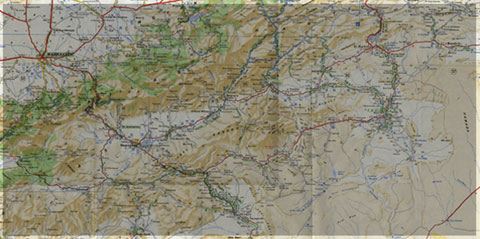
Geology of Morocco has been subdivided into four structural domains, from north to south they are the following: the Rif domain, the Meseta domain, the High Atlas, and the Anti-Atlas, as they are shown in (Figure 1).
The Rif Range extends along the Mediterranean coast from the Kabylian-Tellian belts up to the Strait of Gibraltar. South of it, the Meseta domain is located, where elevated plateaus and intramontane basins occur. Further south the High Atlas system is found, which displays several massifs close to 4000 m, including the highest peak of northern Africa (Jebel Toubkal). The Middle Atlas represents a branch of the Atlas system that extends obliquely across the Meseta domain, and exceeds 3000 m in elevation. Finally, the Anti-Atlas domain is found, which rises forming a massive mountain that achieves up to 2700 m. Further south the elevation decreases both southward and westward from ca. 1000 m to less than 200 m close to the Atlantic.

Figure 1: Elevation map of Morocco and neighbouring countries from GTOPO30 database (A. Michard et al. 2008)
GEOLOGICAL SETTING OF THE ANTI-ATLAS
The Anti-Atlas mountain belt is located in the northern part of the West African Craton (WAC). It is stretching NE-SW and is characterized by Precambrian to late Proterozoic rocks covered by younger sediments of Edicaran to Cambrian in age. The geological boundary between the Anti-Atlas and High Atlas is structurally marked by the South Atlas fault (SAF) (Fig.2). The Anti-Atlas massif is a zone of wide domal uplift with much weaker Alpine age deformation. The volcanics and conglomerates rocks from the Ouarzazate & Bou Salda group in the North-East are surrounding the older volcanics rocks
The Anti-Atlas mountain belt is located in the northern part of the West African Craton (WAC). It is stretching NE-SW and is characterized by Precambrian to late Proterozoic rocks covered by younger sediments of Edicaran to Cambrian in age. The geological boundary between the Anti-Atlas and High Atlas is structurally marked by the South Atlas fault (SAF) (Fig.2). The Anti-Atlas massif is a zone of wide domal uplift with much weaker Alpine age deformation. The volcanics and conglomerates rocks from the Ouarzazate & Bou Salda group in the North-East are surrounding the older volcanics rocks and turbidite sequences from the Sahgro Group and the Pan-African granite intrusions. This geomorphological feature is commonly called inliers (“boutonnière” in French) and is the result of an exposed older rock formation surrounded by younger rock, and is due to a high erosion rate of rocks with different hardness but also encouraged by deformation such as folding and faulting (Gasquet et al. 2005). Several slivers of ophiolites are present in the Anti-Atlas belt, the best preserved are situated in the Bou Azzer, Siroua and Iriri region, which represent remnant of an ocean closure. The basement is composed of schists, granites and mylonites of Paleoproterozoic age. The latest Variscan and Alpine orogenic events overprint most of the Anti-Atlas geological province and thus complicate the Pre- Cambrian geodynamic interpretation. However, two main periods of tectono-thermal magmatic activity (Gasquet et al. 2005) are now recognised :
(i)A Palaeoproterozoic period, corresponding to the Eburnean (Birimian) orogeny,
(ii)A Neoproterozoic period, corresponding to the Pan-African orogeny.

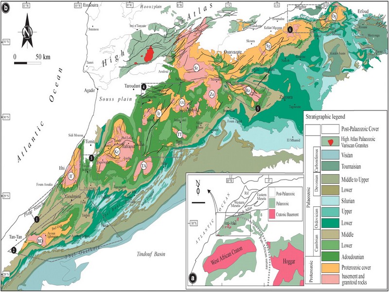
Figure 2: Schematic map of the Anti-Atlas Precambrian inliers (Boutonnière), and location of the maps, satellite views and lithospheric profile presented hereafter (Gasquet et al. 2008)
Source web : DR.Hervé Rezeau, DR.Cyril Chelle-Michou & DR.Michael Calder unige.ch
Les articles en relation
FDLS : les bébés animaux les plus craquants en diaporama
FDLS : les bébés animaux les plus craquants en diaporama La science, c'est aussi la vie. Et quoi de plus représentatif de la vie que ses débuts ? Futura vous propose une pause tendresse dans le parcour
Savoir plus...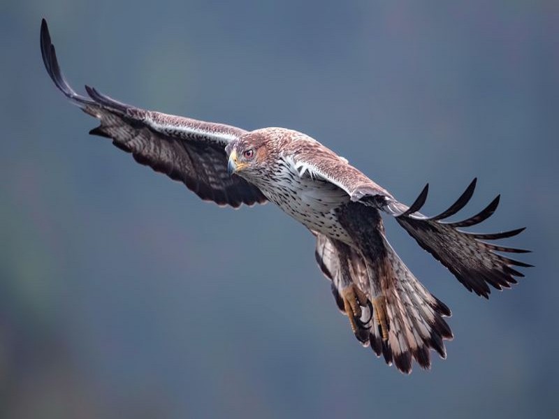
AIGLE DE BONELLI DE L’ANTI-ATLAS (Géoparc Jbel Bani)
AIGLE DE BONELLI DE L’ANTI-ATLAS (Géoparc Jbel Bani) Déployant l’envergure de ses ailes, l’Aigle de Bonelli survole les sommets de l’Anti-Atlas. L’image est majestueuse avec son plumage cla
Savoir plus...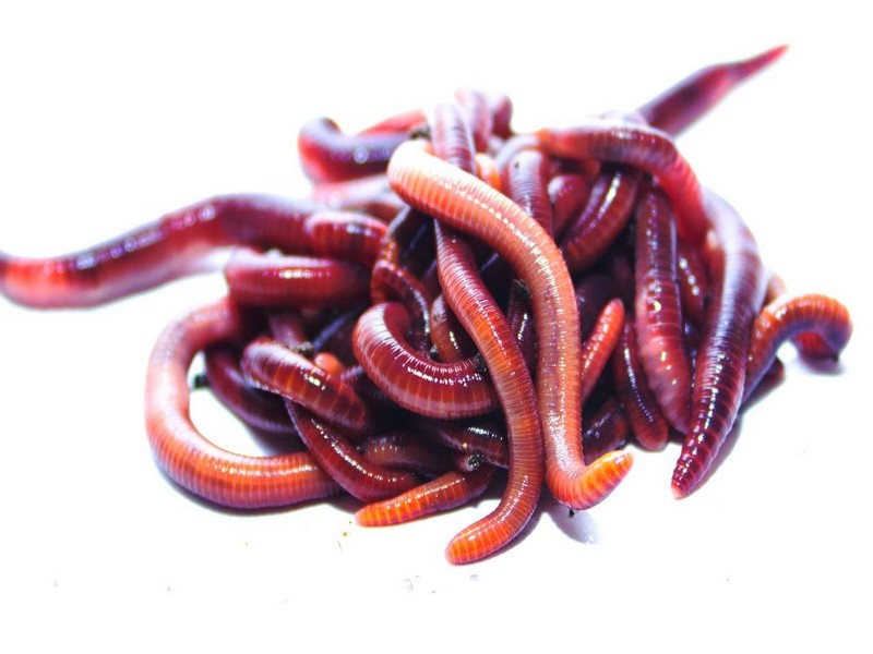
Les vers de terre pourraient prospérer dans le sol de Mars
Les vers de terre pourraient prospérer dans le sol de Mars Des chercheurs ont observé que des vers de terre pouvaient se reproduire dans un simulant de sol martien, c'est-à-dire un matériau qui mime l
Savoir plus...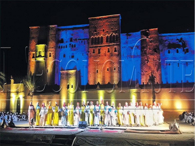
Ahwach: Vers une reconnaissance en tant que patrimoine immatériel
Ahwach: Vers une reconnaissance en tant que patrimoine immatériel Baroud d'honneur pour le Festival national des arts d’Ahwach qui s'est tenu à Ouarzazate du 10 au 12 août. Une 6e édition qui
Savoir plus...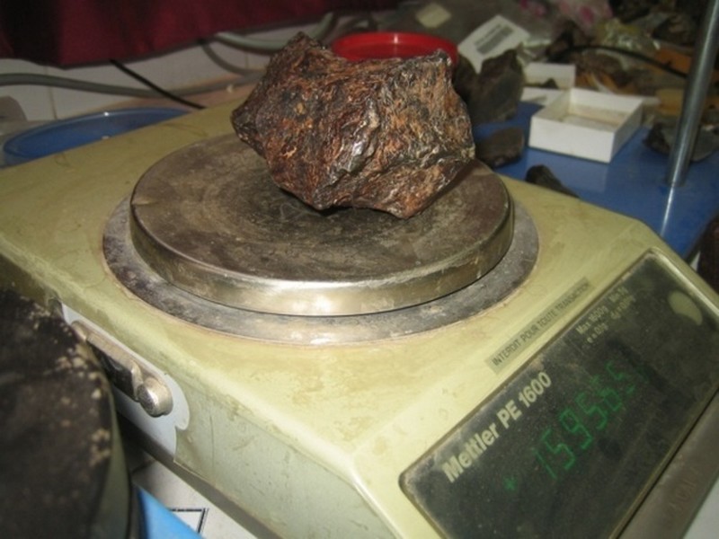
Laboratoire de géo-patrimoine et géo-matériaux de l’Université Ibn Zohr : Les premiers secrets de la météorite martienne «Tissint» révélés
Laboratoire de géo-patrimoine et géo-matériaux de l’Université Ibn Zohr : Les premiers secrets de la météorite martienne «Tissint» révélés Enfin la m&ea
Savoir plus...
Climat subarctique
Climat subarctique Un climat se définit grâce à différentes données météorologiques. Les températures et les précipitations sont déterminantes en la matière.
Savoir plus...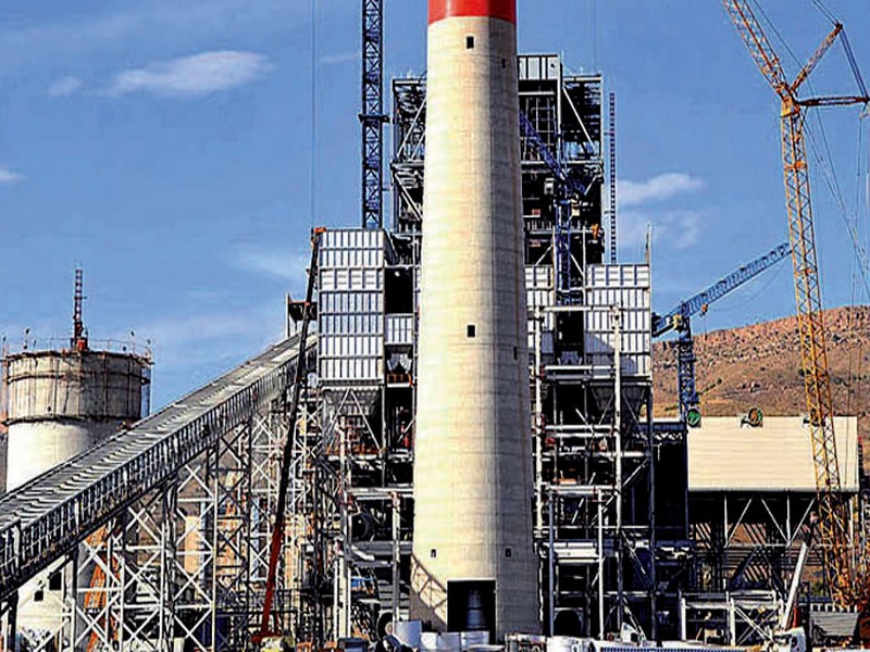
La Centrale thermique de Jerada mise en fonction fin décembre
La Centrale thermique de Jerada mise en fonction fin décembre La quatrième tranche de la Centrale thermique de Jerada d’une puissance installée de 350 mégawatts (MW) et répondant aux standards
Savoir plus...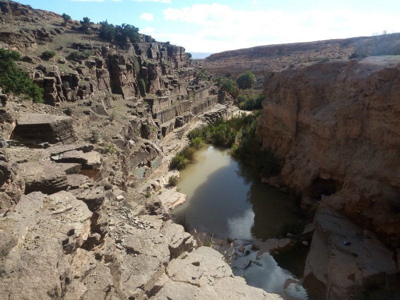
Le chapelet d'oasis de Tighmert, Région présaharienne du Wad Noun (Géoparc Jbel Bani)
Le chapelet d'oasis de Tighmert, Région présaharienne du Wad Noun (Géoparc Jbel Bani) Description Le chapelet d'oasis de Tighmert, riche en éléments archéologiques, constituait le
Savoir plus...
Tata : pourquoi l’interdiction de la culture de la pasteque est maintenue malgre les pluies
Tata : pourquoi l’interdiction de la culture de la pasteque est maintenue malgre les pluies Malgré les récentes précipitations enregistrées dans la province de Tata, les autorités maintiennent
Savoir plus...
PROGRAMME DES E XCURSIONS ET RANDONNEES (Randos sud Maroc)
PROGRAMME DES EXCURSIONS ET RANDONNEES (Randos sud Maroc) Nous organisons des excursions au Sud Maroc vers 7 Kms de TATA (en direction de AKKA), l’on peut visiter l’ancien mellah de Tazart (29°39,80’N
Savoir plus...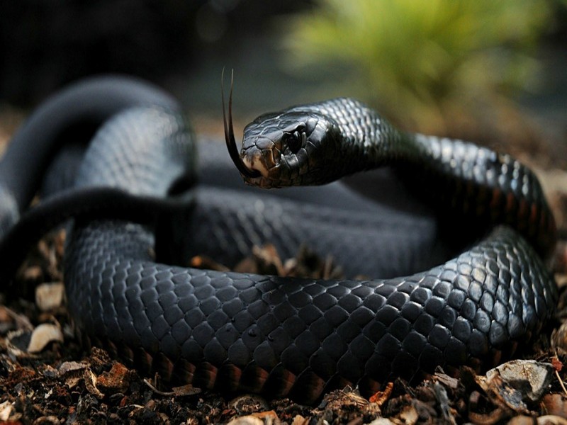
Les 8 serpents marocains potentiellement dangereux (sur 25 espèces)
De nos jours, les gens peuvent se promener un peu partout dans la nature sauvage marocaine sans vraiment avoir à craindre d’être attaqués par des animaux. Il est malheureusement fini le temps où des r&ea
Savoir plus...
4 planètes géantes découvertes autour d’une jeune étoile surprennent les astronomes
4 planètes géantes découvertes autour d’une jeune étoile surprennent les astronomes Quatre planètes géantes qui orbitent autour d'une étoile. Surprenant ? Oui, compte tenu de
Savoir plus...Les tags en relation
En savoir plus sur " Géologie et TSGJB - AMDGJB "
Consulter les vidéos de " Géologie et TSGJB - AMDGJB " Consulter les photos de " Géologie et TSGJB - AMDGJB " Consulter les publications de " Géologie et TSGJB - AMDGJB " Consulter les éditions de " Géologie et TSGJB - AMDGJB " Consulter les communications de " Géologie et TSGJB - AMDGJB "Recherche du site
Recherche avancée / Spécifique
Géoparc et Recherche Scientifique
Le coins de l’étudiant

Blog Géoparc Jbel Bani
Dictionnaire scientifique
Plus de 123.000 mots scientifiques
Les publications
Géo parc Jbel Bani

Circuits & excursions touristiques
cartothéques
Photothéques
Publications & éditions